How do you know you’re in a Smart City? Simply put, you’re not stuck in traffic. Smart Cities use a variety of technologies to monitor and respond to traffic conditions in real time, reducing congestion, improving safety, and decreasing the environmental impact of transportation.
To realize these benefits, cities around the world are investing in smart traffic management. A recent study from Juniper Research revealed that smart management systems could save cities $277 billion by 2025, mostly through reducing emissions and congestion. Experts predict that cities in North America and Europe will account for more than 75% of those savings, thanks to high vehicle usage and increasing investment in smart traffic technologies.
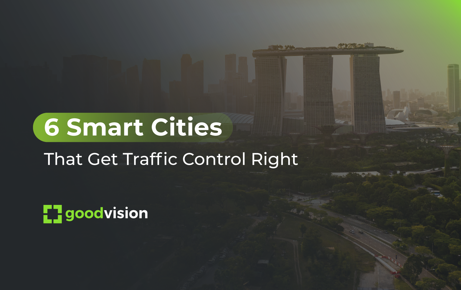
Here’s a look at six Smart Cities that are getting traffic control right.
Singapore
The city-state of Singapore has long stood out among Smart Cities--after all, the nation introduced Electronic Road Pricing back in 1998 and appointed the world’s first smart nation minister in 2014. Singapore also dedicated an impressive $12B to transportation development in 2018. Much of that was devoted to developing a smart infrastructure with sensors for traffic management and preventative maintenance.
Integrated, real-time traffic information forms the backbone of Singapore’s Intelligent Transit System (ITS), providing what the country’s Land Transit Authority calls a “dynamic, real-time picture of the ebb and flow of a population moving through their daily lives.”
While most cities simply use the wealth of real-time data to make decisions internally, Singapore actually shares the data with other stakeholders. For example, motorists gain insight via the Expressway Monitoring and Advisory System (EMAS) and a guided parking system. Commercial traffic service providers and other industry entities also have access to real-time data.
Given the sophistication of Singapore’s real-time traffic monitoring, it’s no wonder that the city is one of the least congested in the world. What is more, KPMG has recently named Singapore as first in readiness for automated vehicles.
.jpeg?width=758&height=569&name=AdobeStock_227456932%20(1).jpeg)
Charlotte, North Carolina
Charlotte is a city that is committed to sustainability, which is why it has adopted multiple initiatives to transition toward being a smart city. Because Charlotte is the 8th fastest growing city in the U.S., it needs to make big moves if it wants to stick to its commitments.
One of the most exciting things about Charlotte is its outlook on traffic control. First of all, the city is heavily investing in traffic monitoring systems. Normally, such systems are used to reduce traffic congestion. Charlotte is going beyond that goal and aiming to use its array of traffic cameras and sensors to reduce air pollution.
With proper data analytics, traffic camera footage can be processed by software and accurately identify the kinds of vehicles that are moving around in the city: cars, motorcycles, trucks, etc. Of course, some vehicles pollute more than others, so having access to this data will allow Charlotte to make more informed decisions about how to control traffic to reduce pollution better.
One of the biggest problems in Charlotte is finding a parking space. According to Sasha Weintraub of Duke Energy, 35% of Charlotte’s traffic is people looking for a place to park. Through better use of real-time traffic data, the city seeks to solve its parking problem.
.jpeg?width=758&height=503&name=AdobeStock_73836457%20(1).jpeg)
London, England
London is a very well-developed smart city in many areas. Looking at its 2018-2021 roadmap, you can see how ambitious it is in integrating data and technology into its city planning.
Just in terms of traffic management, London aims to:
- Introduce newer generations of smart street infrastructure for better data gathering.
- Promote the use of both smart infrastructure as well as smart tech in planning and analytics.
- Provide city-wide network options (WiFi and 5G) to enable constant, uninterrupted communication in the city’s streets.
There’s a lot to like when looking at London. However, one initiative is the most interesting.
Transport for London (TfL) is currently working to expand the use of traffic sensors using AI. The goal is to identify drivers and the vehicles they are operating using sensor data processed by AI. The main advantages of using sensors instead of manual methods for this kind of work are:
- Better productivity: Sensors can work and gather data 24/7. Humans can only work for 8 hours at best.
- Accuracy: Sensors used during a 2018 trial showed to have up to 98% accuracy.
- Privacy: Data is processed instantly and is discarded immediately after the processing ends. Personal data from drivers is never maintained.
If you’re interested in learning more about manual traffic analysis vs. AI-powered traffic analytics, we did our own little comparison. You can read about the results here.
London’s investment in road sensors is an overall investment in real-time data. This sets it up to not only be a smart city in the short term, but also to have the proper tools to keep innovating in the future.

Barcelona, Spain
Like many large cities, finding a spot to park in has been a mess in Barcelona for a long time. So what smart solution does the city have for making parking more efficient?
Barcelona uses a sensor system to help drivers find parking spots. The functionality is simple. Sensors placed under parking spots have one job: detect if the spot is available for parking or if it is currently occupied. This data is processed and communicated to drivers, who are guided to parking spots that are available to them.
It’s a simple system, but it requires a lot of technological integration. There are multiple levels of communication for this system. First, the sensors must send the data they gather in real-time to a hub that processes the data with the help of AI-based software. Then, the newly processed data must be sent from the hub out through the cloud to drivers’ devices so they can be properly guided. This is a typical implementation of the data cycle which goes from the street to the cloud and ultimately to a user’s vehicle.
Barcelona has been very successful in implementing this parking solution. Not only has it made finding a parking spot easier, but it also started paying for itself almost immediately. In 2019 after less than half a year, the Smou app has been used by more than 100.000 registered commuters. Ahead of the curve, Barcelona already offered options to pay for a permit online when the system launched.

San Francisco, California
San Francisco is at the heart of technological innovation, so it only makes sense to include it here. The city’s top priority in implementing smart solutions was to reduce energy consumption. A lot of these efforts have gone into promoting renewable energy and creating stricter building regulations. But any smart city planner knows that roads are a big fuel-sink due to how inefficient they can be. Slowly moving vehicles that are stuck in congestion waste much more fuel per kilometer than vehicles that move smoothly through roads. All that time spent idling, braking, and speeding up again adds up when you scale it up to an entire city.
So how does San Francisco address energy waste on roads? Autonomous driving seems to be the way to go. San Francisco is investing in all the necessary infrastructure to enable autonomous vehicles to roam the city: vehicle-to-vehicle networks to enable inter-vehicle communication, but also traffic cameras and sensors to power traffic guidance systems to inform autonomous vehicles while they’re on the road.
San Francisco also launched the Connected Corridor pilot program. The pilot uses data from traffic sensors (vehicle size, speed, and direction) for two things:
- To prioritize public transit, pedestrian, and emergency vehicle mobility
- To build dashboards to further integrate data-based decision-making into the city’s planning process.
Connected Corridor will allow AI to control traffic signal timings by making slight adjustments based on real-time data. By prioritizing public transit and pedestrian mobility through smarter signaling, San Francisco aims to make its roads more efficient while limiting the environmental impact of urban transportation.

Washington, D.C.
D.C. is one of the most important smart cities in North America. What interests us the most is the way they use analytics. Using data from video cameras, the city detects what kind of vehicle is moving around the city, be it cars, buses, pedestrians, or cyclists.
This data is fed to AI-based software to inform city planners on where to make changes and improvements. In an old city like Washington, changes can be difficult to make as there’s not always as much space or resources available. That’s why relying on more data to make the best possible decisions is so important for the city.
Usually, when we think about smart cities, we think about cars and roads. Washington goes the other way, using road traffic data gathered from cameras to determine where the city needs to add more bike lanes. Washington plans to incentivize travel by bicycle by making it more convenient, more available, and safer, all by making data-driven decisions.
The case is especially interesting because of the unique challenges it faces as a city. With a population of about 600 000, Washington has over a million people who work in the city. Combine that with over 20 million tourists per year, and you have yourself a challenge. How can the city’s streets accommodate so many people that are in constant flux? Smart technology implementation looks like the way forward.

Try GoodVision
At GoodVision, our mission is to help cities look to the future and transition toward smart technologies. We offer several traffic management solutions worthy of the most ambitious smart cities, which are designed to work with pre-existing traffic monitoring infrastructure. If you’re interested in joining the ranks of the cities we looked at in this article, get in touch with us today and try GoodVision by signing up here.
. . .
GoodVision and Telelink City partnered to bring real-time traffic monitoring to the city of Stara Zagora, achieving 97% accuracy. For more details, you can download our case study below.
