When the City of Aarhus, Denmark, needed to improve accessible parking management, they faced a common challenge: how quickly could a modern AI solution be deployed without disrupting city operations? The answer: one day.
The Challenge
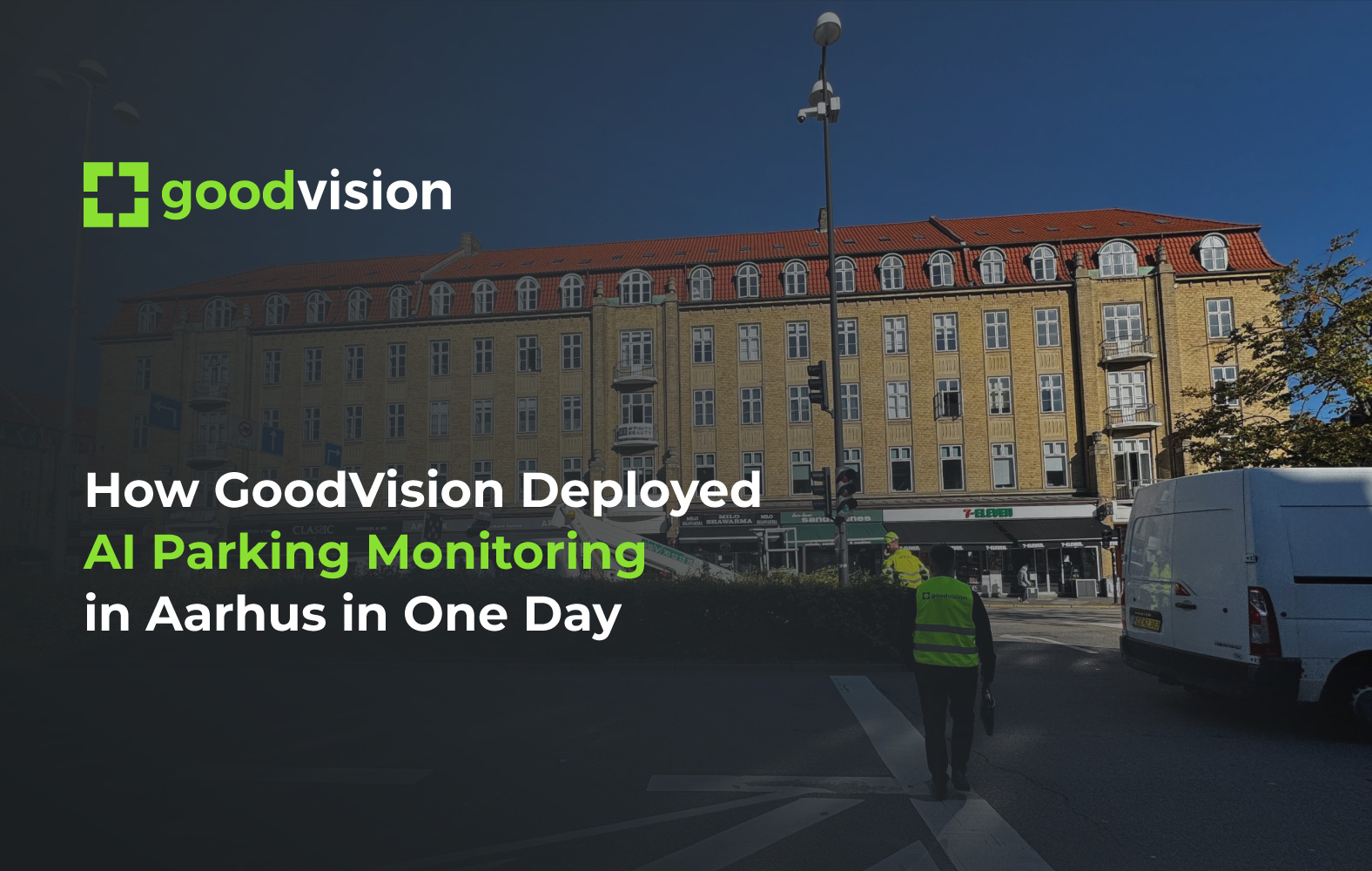
The City of Aarhus partnered with GoodVision through the EIT Urban Mobility - RAPTOR 2025 programme to monitor designated accessible parking spaces. The goal was straightforward but critical: provide real-time status of each parking space, gather analytics for better allocation, and identify misuse.
For many municipalities, this type of project sounds complex. Multiple stakeholders, hardware installation, system integration, and weeks of testing. But it doesn't have to be that way.
The Reality: Fast, Efficient Deployment
Working alongside the City of Aarhus and EIT Urban Mobility, GoodVision deployed AI-powered parking monitoring at two key locations:
- Aarhus Train Station area – high-turnover curbside bays
- Skovvejen street – residential context with complementary demand patterns
The entire hardware installation and system setup took just one day.


Here's how we made it happen:
1. Site Selection (Done Remotely)
Before any physical work began, GoodVision engineers worked with the City of Aarhus to identify optimal camera locations. Using satellite imagery and street-level data, we assessed viewpoints, potential occlusions, and lighting conditions—all without requiring multiple site visits.
2. Hardware Installation (One Day On-Site)
New cameras were temporarily installed at strategic points to cover the selected parking spaces. We're grateful to ATKI Denmark for their invaluable local support in coordinating the camera deployment, ensuring a smooth and efficient installation process. All video feeds were connected to GoodVision's embedded AI unit, which processes data locally at the edge—no need for complex cloud infrastructure or data center setup.
3. System Provisioning (Same Day)
GoodVision software engineers connected the video streams to the system, defined and fine-tuned parking space zones, and calibrated detection models for both day and night conditions. The setup was validated and went live the same day.
4. Instant Data Access
Within hours, real-time dashboards were operational, providing live parking status and historical analytics. The City of Aarhus also received API access, enabling seamless integration with municipal systems.
Why It Works: Edge Processing Changes Everything
Traditional traffic monitoring systems require extensive backend infrastructure, lengthy integration cycles, and ongoing maintenance. GoodVision's edge-based approach processes video data locally, delivering:
- Faster deployment – no need for complex cloud pipelines
- Privacy compliance – no continuous video streaming to external servers
- Reliable performance – local buffering ensures data availability even during network disruptions
- Scalability – add new locations without overhauling infrastructure
Real-World Results
The Aarhus deployment now provides:
- Real-time parking space status – accessible via public dashboards
- City API integration – enabling third-party app development and municipal tool connectivity
- High accuracy – initial field checks indicate 95%+ detection reliability after calibration
This isn't a proof of concept. It's a live system delivering actionable data to city planners and accessibility advocates.


Lessons for Other Cities
If you're considering AI-powered traffic or parking monitoring, the Aarhus case study demonstrates three critical success factors:
- Work with the right partners – edge AI eliminates deployment complexity, and working with local experts like ATKI Denmark makes physical deployment even smoother
- Plan efficiently – remote site assessment and pre-configuration minimize on-site time
- Focus on outcomes – the system should deliver value immediately, not after months of testing
European Scale, Local Impact
This deployment is part of the EIT Urban Mobility RAPTOR 2025 programme, which supports innovative urban mobility solutions across Europe. The funding structure enables a unique advantage: proven technology can be replicated in other cities with minimal cost barriers.
We're open to running similar pilots in additional European cities. The Aarhus deployment serves as a blueprint - validated technology, established workflows, and documented results that municipalities can leverage to fast-track their own accessibility initiatives. Contact us today to learn more.
What's Next?
The City of Aarhus pilot runs through November 2025, with a full impact report planned at project close. Potential next steps include:
- Expanding coverage to additional accessible parking locations
- Integrating parking permit recognition to track illegal usage
- Publishing open data to support inclusive routing applications
- Scaling to 25, 50, or 100+ monitored parking spaces citywide
The takeaway? Modern traffic data collection doesn't require months of planning and deployment. With the right approach (and the right European partnerships) cities can go from concept to live system in a matter of days, not quarters.