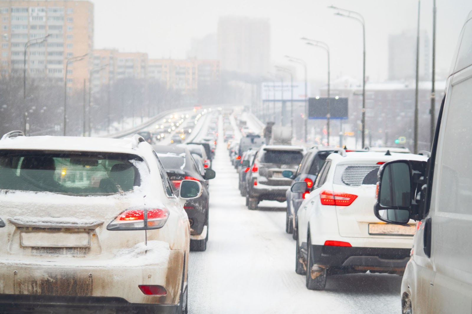
We all know that, as it stands, transport is bad not only for our environment but also for our health. But how bad exactly?
According to WHO data, in 2019, 4.2 million people died due to ambient air pollution, a major source of which is transportation. The EU alone reported 307,000 premature deaths from fine particulate matter exposure. Understandably, the problem is the gravest where traffic is most concentrated—in urban areas.
Although most municipalities are aware of these environmental problems, only some try to create more sustainable, green commute solutions. This article explores some of these solutions and explains how data and technology can help traffic modellers and managers build informed, efficient, and sustainable transport systems.
Cities at the forefront of sustainable transportation
First, let’s look at cities that pioneer sustainable transportation methods through smart city planning, innovation, and data-driven traffic management.
Manchester
In addition to its plans to ban all new diesel and petrol vehicles by 2040, the UK is seeking ways to reduce current emissions. One of the proposed solutions was fume-absorbing roadside barriers tested in Manchester. Fences made of absorbent polymer would take in the pollutants emitted by car engines, reducing air pollution.
Pollution tunnels take this idea one step further— these canopy-like structures are made from the same material and hung over roads, covering them completely. The solution had already been tested briefly in the Netherlands and China.
Highway England considered installing pollution tunnels on a large scale on highways across the country. However, the solution isn’t free from issues: some experts argue that it may expose drivers to increased concentrations of pollutants. others question the usefulness of pollution tunnels, saying that air pollution could be tackled more effectively at the source.
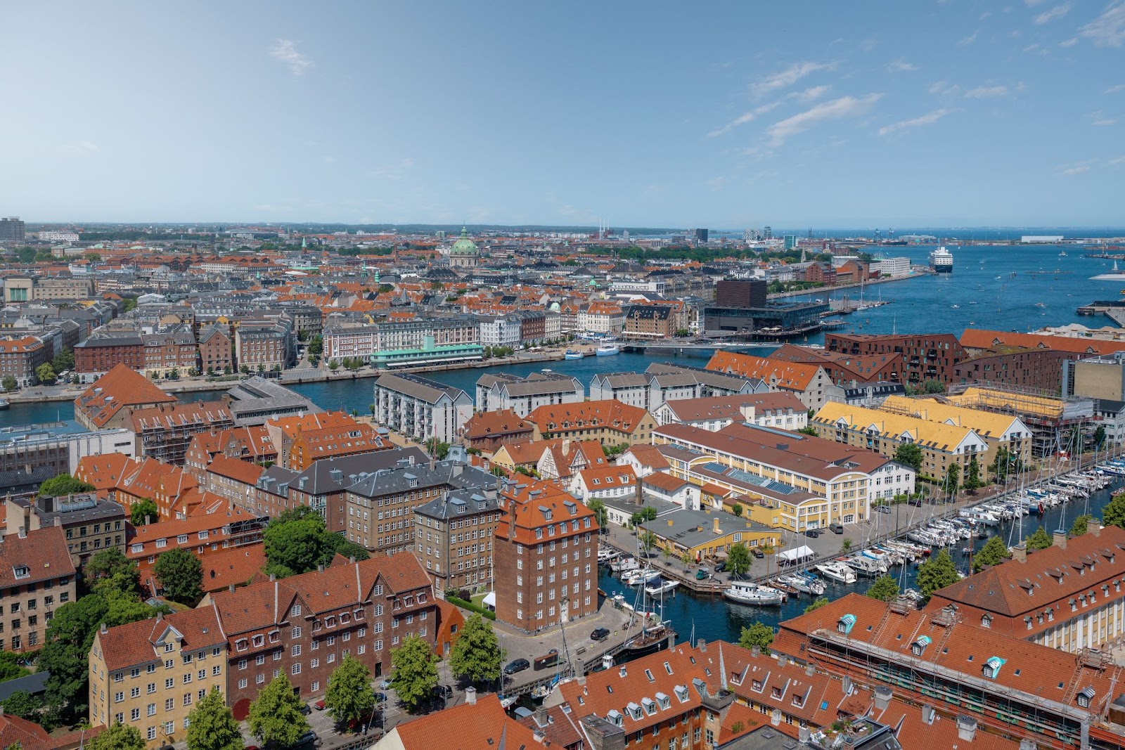
Copenhagen
From prioritising parks to focusing on non-motorised modes of transportation, Copenhagen is famous for putting citizens’ well-being first in urban planning. Sustainability and air pollution is an important consideration as well.
Traffic signals in the Danish capital are programmed to react dynamically to traffic intensity to reduce travel times. A new project aims to provide insights into the correlation between traffic management and air pollution. The ultimate goal is to use traffic lights to direct traffic in a way that generates the least air pollution.
This is done by combining air quality and traffic data collected from two similar intersections in Copenhagen. Then, this data is combined with external environmental data on traffic speeds to help traffic engineers understand the connection between traffic regulation and air pollution and the health benefits of a sustainable transport model, specifically in the context of Copenhagen.
Kigali
Public transportation systems are considered to offer a sustainable alternative to cars. To improve the public bus network in the capital of Rwanda, city authorities turned to data.
The first source used in the project was ticketing data. Bus operators used the existing digital ticketing system to implement a system that generates a record each time the commuting card is tapped. This simple method offers traffic managers tons of valuable data: ridership volume, when the ticket was purchased, for what route, and how much it cost. When combined with GPS data, the tap-in records can even provide locations for points or stops where customers tap in.
GPS is another essential data source, allowing traffic managers to monitor transport vehicles' precise location and speed as they move through the city. GPS data collected from other modes of transport, such as motorcycles and taxis, can also be used to understand the system's functioning.
Kigali authorities then use the collected records to make data-informed improvements to the city’s transportation network. These interventions included the purchase of 300 additional buses, data-driven route optimisation and redirecting, traffic monitoring, and identifying in-demand routes for lane prioritisation.
How data powers sustainable transport and commute
These traffic projects have several things in common: they all focus on sustainability and reducing congestion through innovative traffic management techniques. But most importantly, they all use transportation data to inform efficiency- and sustainability-oriented mobility interventions.
Traffic metrics used in designing and managing sustainable transport models include:
- traffic counts,
- vehicle types,
- manoeuvres,
- origin-destination counts,
- vehicle trajectories,
- speed,
- travel time,
- saturation flows,
and more. They are obtained from diverse sources, such as CCTV cameras, drone footage, traffic reports, and road sensors.
One important thing to notice is that all these parameters are commonly used to improve the effectiveness of transportation networks. This is no coincidence—congestion and car dependency are linked to air pollution due to increased fuel consumption, start-and-stop movements, high vehicle concentration, and higher wear and tear of vehicle parts. Thus, optimising the overall efficiency of a mobility network will directly translate into lower emissions and a more sustainable transport network.
Real-time traffic video analysis for eco-friendly transportation
At GoodVision, we don’t limit ourselves only to video recordings—our tools are also capable of running live traffic analytics. How does it work?
GoodVision Live Traffic streams live recordings from CCTV cameras near road sections of interest, such as intersections. This allows for non-stop traffic data collection, providing much more material for future analysis.
The analysis itself is expedited by GoodVision’s AI algorithm, which automatically extracts all necessary parameters from live streaming. The algorithm works in real-time, detecting events as they occur and automatically notifying traffic managers.
All processed recordings are available on the GoodVision Video Insights platform, where they can be later analysed. Traffic modellers can apply filters, view vehicle movements mapped onto the road section, and generate reports for specific zones and time frames. Everything is kept securely in one location, facilitating access, traffic analysis, and collaboration.
The combination of AI and traffic footage offers a range of unique benefits crucial for optimizing traffic and progressing toward sustainable mobility.
- Accuracy — With the help of the AI algorithm, videos can reliably provide traffic modellers with a wide range of traffic records.
- Speed — Collecting and processing traffic data manually is an arduous task that can take weeks. CCTV cameras record traffic footage independently around the clock, and AI can extract traffic parameters from large sets of recordings in a matter of hours.
- Visualisation — The most unique feature of the video format is its visual aspect. By watching recordings complemented by data presented as heatmaps or trajectories, traffic modellers can better understand the road situation.
- Versatility — Video footage can be a source of various essential traffic records, including volume, vehicle classification, movements, and more.
- Real-time analytics — By pairing live video with AI, traffic managers can receive live updates on traffic patterns and events and react instantly.
These solutions have been proven in cities aspiring to improve the efficiency of their mobility networks. One such city is Stara Zagora, one of the largest cities in Bulgaria, whose aim was to centralise and connect all transit modes into a single mobility management system.
To help Stara Zagora achieve its goals, GoodVision joined forces with a smart city solution provider, Telelink City. The existing traffic cameras were plugged into the GoodVision platform, which enabled real-time detection, classification, and tracking of traffic attendants, including all movement trajectories. GoodVision also provided Telelink City with configured real-time analytics computing units, which were easily integrated with Telelink’s traffic control system.
The collaboration increased Telelink's event detection accuracy to 97% and significantly improved its capacity to process traffic data. For Stara Zagora, this meant a turn toward a more interconnected, efficient, and effectively, sustainable transport system.
The future of sustainable transport is here. Are you in?
Whether it’s by optimising public transit, containing emissions, or fighting congestion, cities around the globe are increasingly pursuing sustainable mobility. As with any big change, this switch begins with knowledge—and knowledge comes from data.
You're in the right place if you want to tap into the data stored in traffic videos and use it to inform your transition to a more efficient and sustainable transportation system. Give GoodVision a go and start the change today!