
Advancements in smart technology have revolutionized how road infrastructure is managed and monitored in cities worldwide. One particularly innovative application of technology is the use of digital twins in urban areas.
It has become a tool for creating enhanced virtual, real-time and AI-driven models of applications, systems and objects in the real world.
According to recent research, cities that implement digital twins will save an average of USD $280 billion by 2030. Digital twins can help a city realize savings across multiple domains, from transportation and safety to infrastructure and energy.
Cost savings can be obtained in key areas, such as energy and utilities, transportation, safety and security, and infrastructure such as roads and buildings. However, urban digital twins also offer many other advantages in terms of supporting and improving sustainability, circularity, decarbonization, and the overall quality of urban living.
With digital twins, traffic managers can more accurately and efficiently oversee traffic within a given area. That being said, let's discuss what a digital twin is and how it can be applied to optimise our cities and the traffic they manage.
What is an Urban Digital Twin?
A digital twin is a virtual representation of a physical object, system, or process that mirrors its real-world counterpart in real-time. This digital model is not only a copy but a dynamic simulation tool that uses data inputs to test, analyze, and predict behaviors and outcomes, enabling informed decision-making.
An urban digital twin specifically represents a city’s physical assets and infrastructure in a digital format. By leveraging historical data, advanced machine learning algorithms, and data analytics, urban digital twins provide real-time insights and simulations that evolve alongside their physical counterparts.
In simpler terms, an urban digital twin acts as a digital replica of a city, enabling planners and managers to predict and respond to changes in real-time. For instance, it integrates historical and live traffic data from city-wide cameras and sensors to optimize transportation and urban planning.
The digital model draws on data collected by smart sensors distributed across the city. These sensors capture both physical and social dimensions of urban life. Physical dimensions include variables like traffic flow, weather conditions, and infrastructure status, while social dimensions encompass factors such as public transport capacity, business activity, and ongoing events. By combining these inputs, an urban digital twin provides a comprehensive, actionable view of the city’s dynamics.
Urban Digital Twins and City Optimization
While urban digital twins are primarily used by city and traffic managers, they have countless other uses and benefits for urban areas. Just as a smart city can help cultivate a more efficient and economically booming city, urban digital twins can optimize cities to become more interoperable, accessible, inclusive, and safe. The three primary ways an urban digital twin can apply to smart cities are traffic management, urban planning, and infrastructure monitoring.
Traffic Management
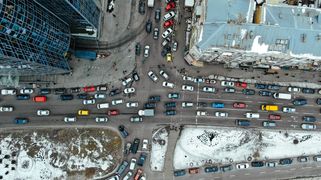
Traffic management is a prevalent and highly beneficial use of an urban digital twin. With historical data and the use of real-time cameras and sensors spread throughout the city, the digital twin can replicate and predict scenarios such as congestion, construction detours, accidents, and events taking place.
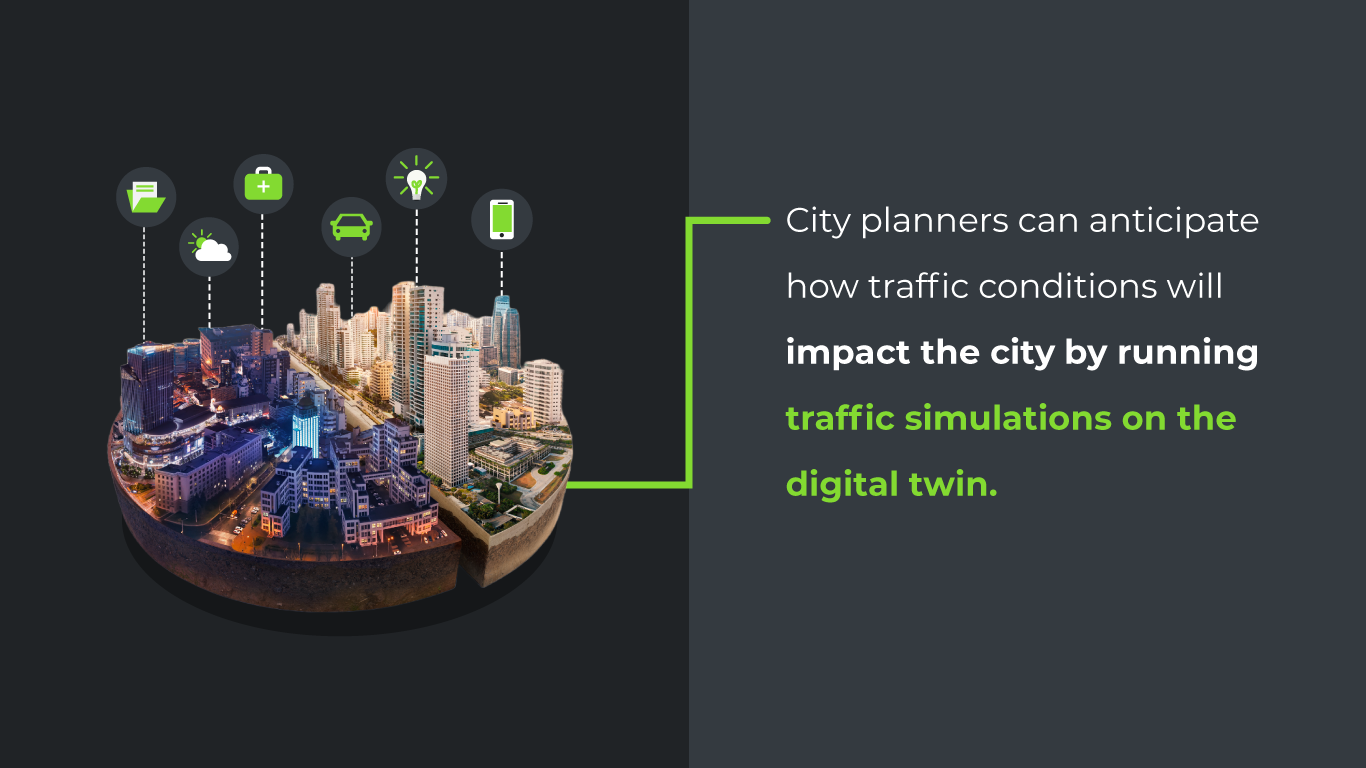
City planners can anticipate how traffic conditions will impact the city by running traffic simulations on the digital twin. This capability can help managers adjust traffic lights, reroute traffic, and determine where additional resources are needed, such as traffic lights, cameras, and emergency vehicles.
For example, if a significant accident has occurred or a major local event, city planners can use the urban digital twin to determine the best routes to manoeuvre traffic and minimize congestion while keeping citizens safe and moving.
With this information, cities improve safety, traffic efficiency, and congestion. City planners can determine the best possible changes to make in a city to accommodate these scenarios with maximized efficiency, resulting in a more productive and optimized city.
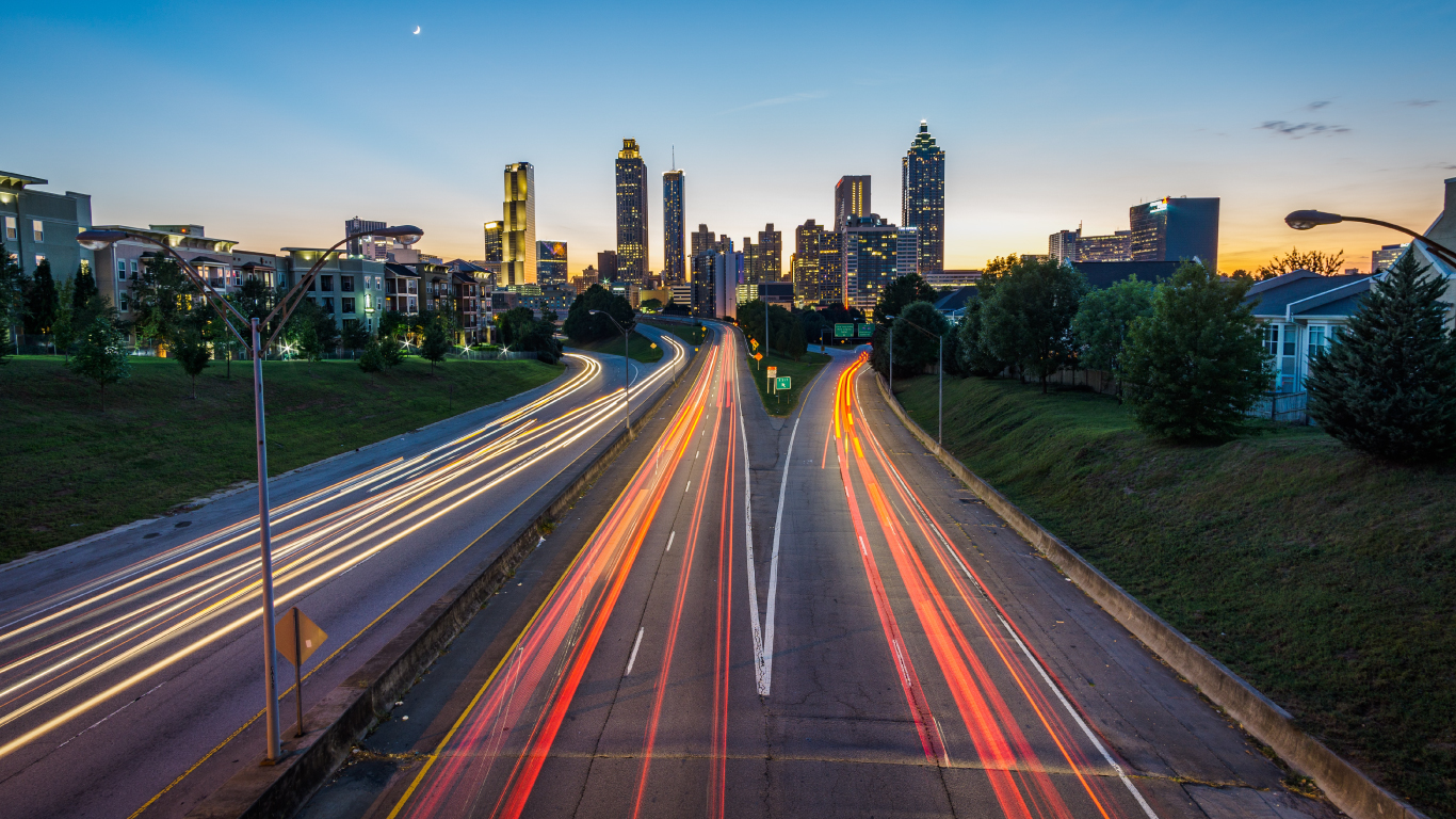
Digital Twins Reduce Traffic Congestion in Chattanooga
The city of Chattanooga, Tennessee, partnered with the Oak Ridge National Laboratory to build a digital twin that pulls data from about 500 different sources, including traffic cameras, weather stations, and emergency services. They used the digital twin to conduct experiments on reducing traffic congestion.
The data revealed that over 90% of cars got stuck at a red light during the midday rush on a major thoroughfare. Now, signalling patterns are updated every four minutes, based on real-time data. As a result, traffic congestion has decreased by about 30%.

Urban Planning
Urban digital twins can also collect data regarding public transport capacity, construction schedules, and policy changes helping city planners optimise their cities beyond traffic control.
By running “what if” scenarios on the digital twin, city planners can evaluate the effects of any proposed infrastructure and policy changes, like the ones mentioned above. Suppose a city decides on a proposal regarding additional traffic lanes on a bridge or highway. In that case, city planners could use the urban digital twin to run simulations of city patterns with the new lanes. With these insights, city planners can make informed decisions on such proposals, minimizing the disruption of new infrastructure developments.
City planners can even go as far as to predict how policy changes could affect public safety, traffic flow, air pollution, and foot traffic. As a result, policy changes and infrastructure developments can be made confidently, ensuring that they are in the best interest of a developing city.
Infrastructure Monitoring
Similar to its effect on urban planning, urban digital twins are also instrumental in terms of infrastructure monitoring. For significant infrastructures such as bridges and tunnels, it can be challenging to monitor them closely. Still, they must be monitored not only to ensure traffic flow and safety but also to alert engineers of potential problems with the infrastructure.
Fortunately, urban digital twins make monitoring these structures easy with real-time usage data in tandem with monitoring tools such as cameras and sensors. Data on the wear and tear of these structures can be used with real-time data to predict maintenance and repair needs. Urban digital twins can also help engineers determine how these structures can withstand certain weather conditions, traffic, and even events such as an earthquake.
With highly advanced predictive and proactive maintenance, engineers can better ensure the safety and stability of these major structures and preserve the infrastructure for additional decades. As a result, cities can save significantly on repairing these structures and handling the aftermaths of natural disasters and accidents.
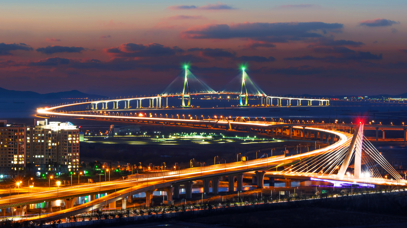
Incheon Launches a Comprehensive Digital Twin
One of the busiest cities in Korea, Incheon uses a digital twin to manage multiple key aspects of the municipality: traffic, urban development, fire response management, urban sanitation, facilities management, and city revitalization. The Incheon Fire Department uses the digital twin to better allocate resources, speeding up response times. And street cleaning vehicles can be tracked and routed more efficiently, which contributes to reduced traffic, among other advantages.
Urban planners also use the digital twin to build a public-facing mobile mapping application. These maps will help to increase walkability in a city with many older, less mobile residents. For example, traffic lights might be retimed to give people more time to cross streets.
The Future of Urban Digital Twins
Incorporating urban digital twins in the development of smart cities is key to achieving safer, more sustainable, and more efficient urban areas worldwide. With these technologies, citizens can manoeuvre cities better than ever, cultivating productivity and economic growth. But, if this is true, why haven’t all cities adopted an urban digital twin yet?
There are still some challenges to overcome, one of the most significant being collecting the necessary data, which must be real-time, reliable, and secure. Cities must be able to rely on the accuracy of this data for it to be useful in decision-making.
Still, urban digital twins have the potential to revolutionise smart cities, equipping them with more predictive and improved modelling capabilities. With the right technology, obtaining the right data - reliable and in real-time - is possible, and fortunately, much of this is already available.
Many cities have already equipped themselves with the smart cameras and sensors necessary to collect real-time data, in addition to drawing up digital maps of their areas. GoodVision is already providing cities with automated data collection tools they need to become smart cities and hopefully adopt urban digital twins of their own.
With automated traffic data collection applied to their street cameras, cities can begin managing, monitoring, and controlling their traffic in cities, prepping them for the future of urban optimisation.